Machalilla National Park

Location Summary
Machalilla National Park (MNP) is influenced by the meeting of three marine currents: the fresh water flow of the Rio Guayas basin and the currents of Humboldt and Panama (seasonally). This gives rise to a high concentration of marine birds and creates an ideal site for harboring migratory species such as whales, dolphins, mantas, sea lions, and sea turtles. Approximately 1,000 artisanal fishers from surrounding communities engage in extractive activities within the park. In the past few years, there has been a marked decrease in the capture of iconic species, such as pink brotula, lobster, sea cucumbers, and spondylus (currently the fishing season for the spondylus is closed indefinitely). In addition, the beach at Puerto Lopez Beach has the second highest recorded level of shark and manta ray bycatch in the nation.
Partners in Conservation


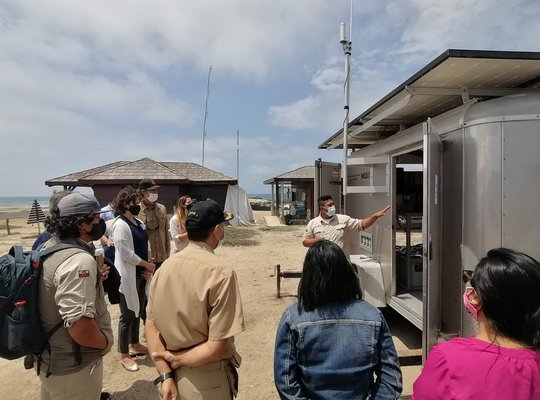
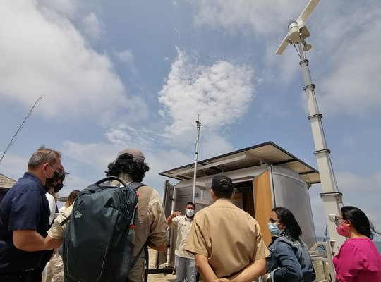
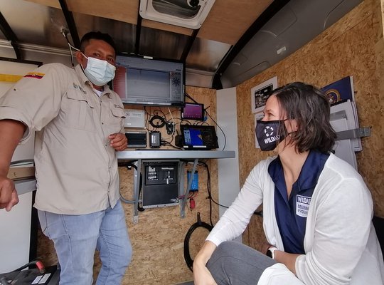
M2 System Deployments
-
- Anacapa Island
- Catalina Island, California
- Coal Oil Point, Santa Barbara, California
- East Coast Seasonal Management Areas
- Elliot Key, Biscayne National Park
- Encinitas, California
- Farallon National Wildlife Refuge
- Gull Island, Channel Islands
- Miloliʻi, Hawaii
- Orcasound Lab, San Juan Island, Washington
- Piedras Blancas, California
- Pillar Point, California
- Point Bonita, California
- Point Conception, California
- Point Reyes Lighthouse
- Santa Barbara Island, California
- Santa Cruz Island, Channel Islands Marine Sanctuary
- Scorpion Bay, Channel Islands
- Scripps Pier, California
- South La Jolla, California
- Tiburon, California
- Tybee Island
- Virginia