Isla Coiba World Heritage Site, Panama
M2 Deployed Here!

Location Summary
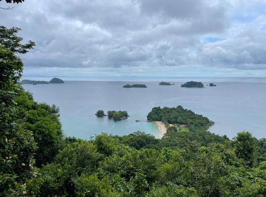
Coiba National Park, located in the Gulf of Chiriquf, in the southwestern region of the
Panamanian Pacific, is made up of Coiba, the largest island in the Central American
Pacific, with an area of 503.14 Km2, plus other smaller islands, islets and rocky
promontories that total 38, and that, together with Coiba, cover 537.32 Km2.
The marine surface of the park is estimated in 2,024.63 Km and has the most extensive
area of coral reefs of the Eastern Pacific (17 Km2), where numerous threatened species
converge, among them turtles and marine mammals, in addition to a rich and varied
ichthyofauna that allows the sustainable use of artisanal and sport fishing.
Coiba NP has become the habitat and feeding site of the largest juvenile hawksbill turtle
population in the entire Eastern Tropical Pacific where more than 500 individuals have
been tagged, which demonstrates the good conservation status of this area and therefore
the importance of conservation and protection of this protected area, since according to this
monitoring it has become an important link in the connectivity of the Eastern Tropical
Pacific Marine Corridor.
In the marine environment four species of octocorals stand out: Pacifigorgia catedralensis,
Leptogorgia christiae, Pacifigorgia rubinoffi and Pacifigorgia smithsoniana.
In total, 1,045 species of vascular plants, 224 species of terrestrial vertebrates and nearly
2,000 marine species have been identified in Coiba NP.
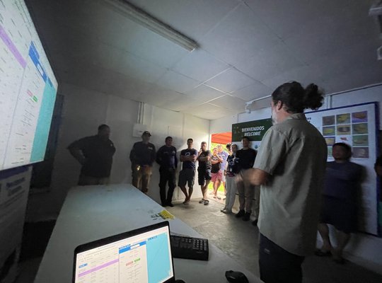
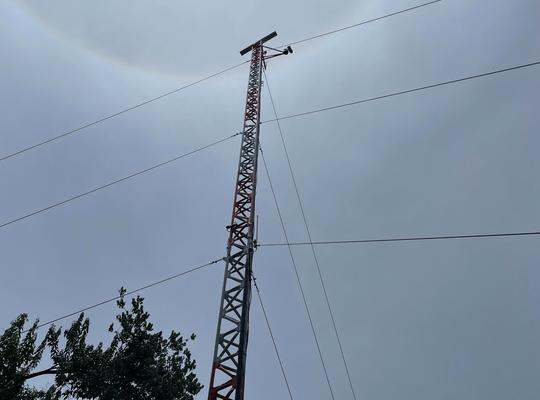
The M2 system was deployed in partnership with Global Conservation and the Ministry of Environment of Panama (MiAmbiente) and will help monitor scuba diving and artisanal fishing operations within the park.


